NASA Broadcast Shows Map Depicting Crimea as Part of Russia

Dragon Media News Desk
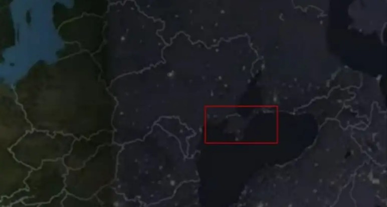
A map shown during a NASA broadcast depicted Crimea as part of Russian territory.
The map, displayed during coverage related to a solar eclipse, appeared to separate Crimea from Ukraine using a line commonly associated with an international boundary.
The map itself does not constitute a formal NASA geopolitical position or indicate a change in official US policy regarding Crimea’s status. However, the depiction has drawn attention because of the territory’s internationally disputed status.